General William Roy: born 300 years ago today

General Roys cannon on a grassy knoll just off Nene Road, Harmondsworth, Middlesex.

Three hundred years ago today, William Roy was born.

Who is William Roy? He was a gifted surveyor, technician and scientist, and the inspiration behind the Ordnance Survey maps. This is his story.


On a cold bracing day in April 1783 a distinguished looking gentleman left the warmth of the Three Magpies on the Bath Road at Heathrow, Middlesex. Together with three colleagues, he turned to his right and walked down a lane beside the pub, and continued on for two hundred yards where the party entered a field and headed for a place marked on maps as Kings Arbour on the edge of Hounslow Heath. This man was Major-General William Roy and with him were fellow members of the Royal Society of London. Roy was to go down in history for what he started on that day.

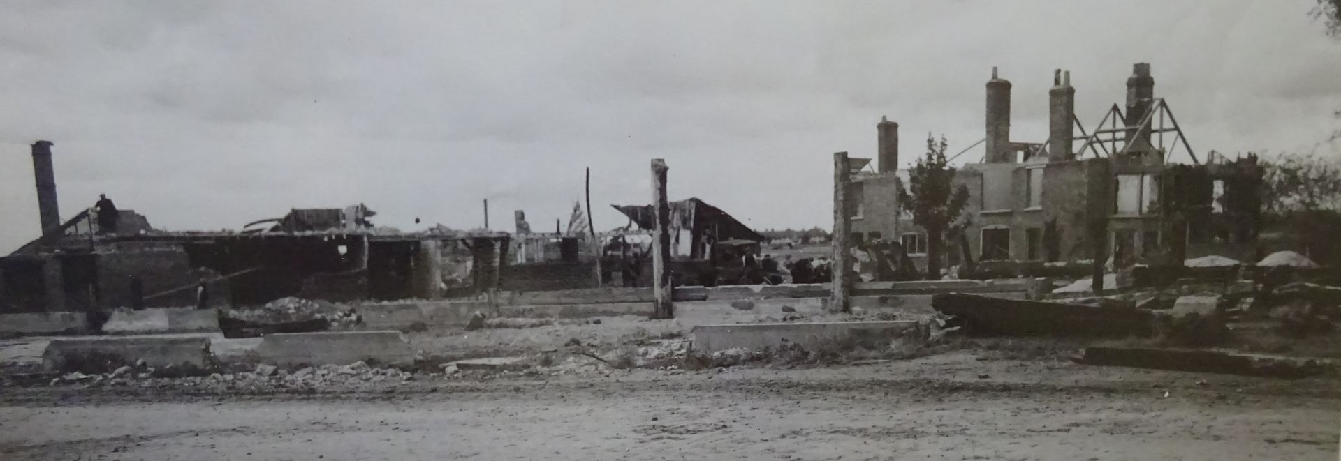
His story begins, on this 4 May 1726, when a boy called William Roy was born in South Lanarkshire, Scotland. When his formal education finished he was trained by the Board of Ordnance at Edinburgh Castle as a surveyor and draughtsman and by 1746 had published an official map of Culloden, soon after the battle at the end of the Jacobite rising. Following the battle King George II commissioned a military survey of the Highlands and William Roy did the bulk of the work on what is now called “Duke of Cumberland’s Map”. Although still a civilian he was appointed to a military rank in order to have some authority over the six soldiers that travelled with him on his survey trips. The survey and mapping of the Highlands was completed by 1752 and the mapping of the Lowlands was in its third year when the Seven Years’ War with France broke out in 1755. Roy’s military escort and assistants where required elsewhere, and the map of the Scottish Lowlands was never completed to Roy’s satisfaction.


Although not a trained soldier, he now had a military rank and was under the command of the army. In 1756 he was posted to the South of England where he worked with others to inspect and survey the South Coast and prepare defences for any French invasion. He produced maps and plans to aid the planning of fortifications. He was moving up the ranks in the army as they realised how useful he was in innovation and technical abilities.  At the end of the war he was appointed surveyor-general which required him to inspect and survey the coasts and islands of Britain. Now based in London, and with his maps of the Scotland and the South Coast of England recognised as militarily important he campaigned for a complete survey and mapping of the British Isles, but government funds were depleted after years of war and the money was not available.  However his fame was becoming widespread. He was elected a fellow of the Royal Society, and by 1781 he had been promoted to Major-General

It was not until he was 57 that an opportunity came his way that would start him on his ambition. A French astronomer, Cassini de Thury, sent a paper to the Royal Society expressing reservations about the correct measurements of latitude and longitude supplied by the Greenwich Observatory. He suggested a more accurate measurement could be obtained by doing a precise triangulation survey between the Paris Observatory and the Greenwich Observatory.  Sir Joseph Banks, President of the Royal Society, and botanist, proposed that William Roy should lead the project. Roy was very enthusiastic this as this could lead to the national survey and mapping he had been advocating. On 16 April 1783 Roy and a small party of other members went looking for a suitable location on which to measure, very accurately, a five-mile long base line. It needed to be near London and on level ground. The most suitable location was Hounslow Heath, and the decision was made to measure south-east across the heath from a point to the north near the Three Magpies pub to the Hampton Poor House. There was a small piece of land owned by the King and marked on the maps as Kings Arbour which they all agreed was a good starting point for the measurement. 


At that time, Hounslow Heath was a notoriously dangerous place where highwaymen lurked to surprise stage coaches and steal money from the occupants, but Colonel Roy with his military connects arranged for a party of soldiers from the 12th Regiment of Foot to escort and assist with the measurement. The work began on 15 July. First they cleared the scrub along the line of the measurement. Then carried out preliminary measurements with a 100-foot steel chain, then more accurate measurements were taken using 20-foot deal rods. These were supported on trestles. Once two rods had been laid together the trailing rod would be brought to the front, and the measurement continued along the whole route. Unfortunately it was a wet summer and the deal rods warped in the damp and their use was abandoned. By 2 August it was decided to replace the wooden rods with glass ones. 


General Roy camped with his men alongside the baseline for seventy-five days. Sir Joseph Banks and other dignitaries visited almost daily, and when the final measurement was taken at King’s Arbour, King George III, who had funded the whole project, came to inspect the progress.  Always interested in scientific progress he stayed for two hours talking to General Roy and the other members of the Royal Society. As the soldiers packed up camp General Roy ordered wooden pipes to be set vertically in the ground to mark each end of the baseline. These were later replaced by decommissioned nine-foot canon barrels and are still in place today, although the King’s Arbour marker has moved slightly to accommodate the requirements of Heathrow Airport. They each have a tablet describing the achievements of William Roy. 

The triangulation measurement between London and Paris was completed in 1787, and the final report of the precise latitude and longitude, was published in 1790 just after the death of Major-General Roy who had died with three pages of his report still to be proofed.  Not only had he made clear measurements, but his survey also precisely fixed the position of landmarks and these were incorporated into future maps. He was not to complete his national survey of the British Isles, but others did, and it is because of him that we now have our world-renowned Ordnance Survey Maps.

For more historical stories of the area read:

 “The Vanishing Village: A Legacy Lost to Heathrow’s Third Runway”

by Wendy Tibbitts

 ISBN 978-1-7390822-2-22


Lord Winster opening Heathrow airport on 1 January 1946.
By Wendy Tibbitts December 30, 2025
On 1 January 1946 the inaugural flight left from the only completed runway at Heathrow airport. This is the story of the airport's first year of operations.
By Wendy Tibbitts November 5, 2025
Hundreds of buildings, many listed and historic, will be demolished if Heathrow's Third Runway is built and with them the loss of fascinating history.
By Wendy Tibbitts April 26, 2025
Monday 7th May 1945 was a day when everyone was waiting for the news that Germany had officially surrendered. When the news came that evening the people were ecstatic. Read how the Borough of Hillingdon went wild to celebrate the two-day VE day holiday.
The destruction of Heathrow 1944
By Wendy Tibbitts February 15, 2025
The villages around Heathrow have been blighted since 1946 as successive governments have procrastinated and made bad decisions about expanding the airport. These former rural agricultural villages have been fighting airport expansion for eighty years, meanwhile the Grade II listed buildings have deteriorated and the community are exhausted by years of protest.
The Peggy Bedford in 2006. A Grade II listed building now on the At Risk register.
By Wendy Tibbitts December 7, 2024
The Kings Head later called The Peggy Bedford is a Grade II listed Elizabethan building in Longford, Middlesex, that was a major coaching inn on the Bath Road (A4) for centuries. Now blighted by the prospect of the whole village being demolished under the Heathrow expansion plans, it lies, empty and derelict and on the At Risk register.
Mercury House, North Hyde Road, Hayes
By Wendy Tibbitts November 22, 2024
Mercury House the art deco HQ of Fairey Aviation Limited, Hayes, Middlesex
The Three Magpies on the Bath Road at Heathrow, still serving food and drink to travellers today.
By Wendy Tibbitts July 26, 2024
The Three Magpies pub and the pre-Olympic movement.
The Three Magpies as it is today
By Wendy Tibbitts May 6, 2024
The Three Magpies is the last surviving building of the hamlet of Heathrow. It has a fascinating 300 year-old history from highwaymen to map-makers, and from athletics to Royal Hunts. This blog tells the story of some of its Landlords.
The Kings Arms, Longford, Middlesex.
By Wendy Tibbitts February 20, 2024
The Kings Arms in Longford, Middlesex, has just closed for good. This is the story of 250 years of history about this former coaching inn.
Show More